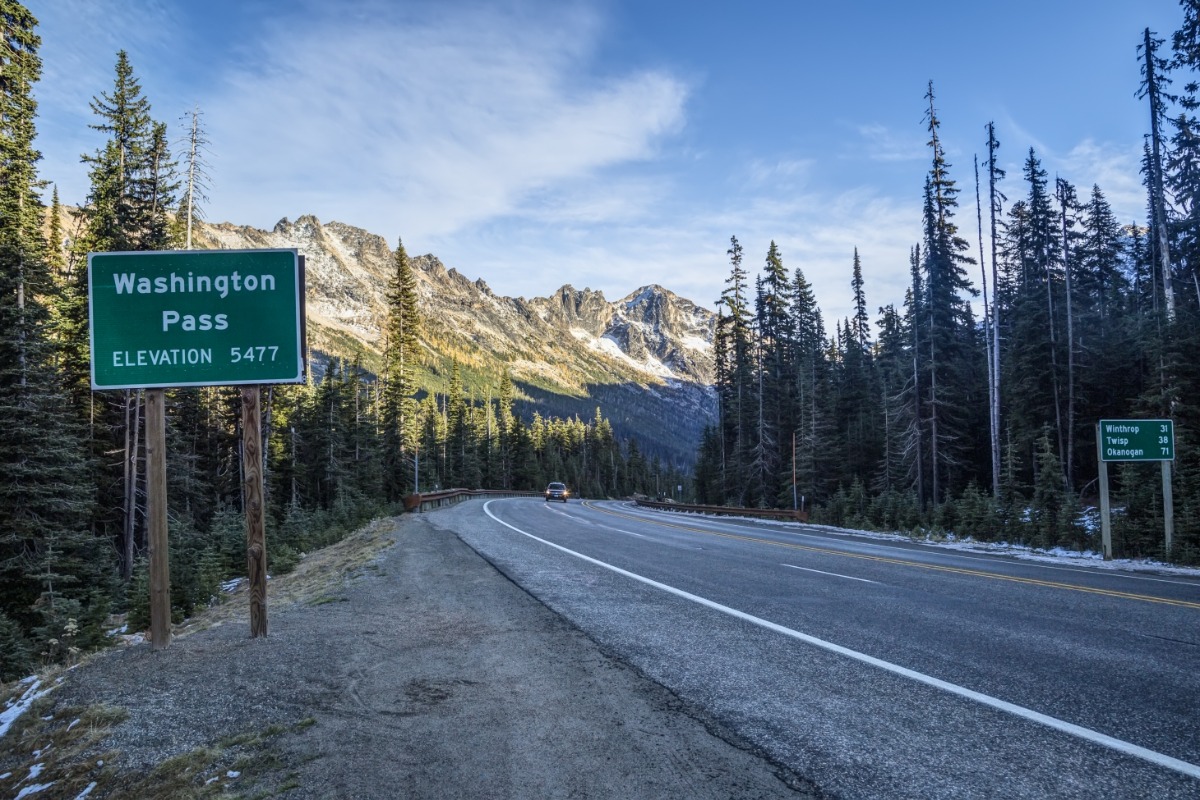
Starting November 1st the Washington State Department of Transportation will show regular updates of the Pass Conditions on their website and mobile app.
North Cascades Highway Seasonal Closure Information
At some point each winter, SR 20 Washington Pass will be closed. It doesn't mean the first time snow is reported the road will close, and we have had instances where a temporary closure takes place after a storm, but the roads are cleared and reopened.
The dangers from avalanche throughout the winter causes the route to close each year. The winter close date and the spring reopen date cannot be predicted,
The earliest opening date for the North Cascades Highway was March 10, 2005. The latest seasonal reopen date was June 16, 2026. This delayed opening was due to a December 2025 atmospheric flood event washing out roadway and bridges that took time to repair.
A typical closure takes place between Ross Dam trailhead (milepost 134-east of Diablo Overlook) and Silver Star gate (milepost 171-west of Mazama). Depending on conditions, the closure points might be moved to lower elevation closure points later in the season, moving to the Newhalem gate (milepost 120) on the west side and Early Winters gate (milepost 178-about a mile east of Mazama) on the east side.
The Washington State Department of Transportation will close SR 20 North Cascades Highway for the winter due to conditions and avalanche risk.
The Washington State Department of Transportation (WSDOT) does an amazing job of keeping our roadways safe and well-maintained. They also are an essential partner in keeping us and our travelers informed about any accidents, closures, or other issues that can impact the normal flow of traffic. Be sure to check out your itinerary using the following resources before you head out!
Washington State Department of Transportation Resources